Decouple high-frequency GPS ingestion from map rendering
Streaming hundreds of concurrent vehicle or vessel coordinates every few seconds will lock up browser and mobile UI threads if every packet triggers a full React state tree re-render. When Radiaix engineered 2EZ Tracking, we separated the telemetry ingestion pipeline from the visual frame loop.
By buffering incoming WebSocket and MQTT location deltas into indexed in-memory stores and batching map marker interpolations on animation frames, Radiaix keeps dispatch consoles responsive even during peak fleet activity.
- Ingest high-frequency GPS and sensor payloads through resilient message queues.
- Deduplicate noisy coordinate pings and compute geofence transitions server-side.
- Batch client-side map updates to maintain 60fps pan and zoom responsiveness.
- Expose instant vehicle health, speed, and route-deviation alerts to dispatchers.
Design local-first mutation queues for dead-zone resilience
Drivers, marine captains, and field inspectors routinely operate inside highway dead zones, concrete warehouses, and offshore marinas. An app that loses proof-of-delivery signatures or inspection photos when a 4G signal drops destroys operator trust.
Radiaix builds mobile field applications with persistent local SQLite/IndexedDB queues and deterministic conflict resolution. Every status change, photo capture, and timestamp is committed locally first and synchronized automatically with idempotency keys once connectivity returns.
Offline resilience is not an edge-case feature in field software—it is the foundation of operator trust.
Optimize background location polling and mobile battery life
Continuous high-accuracy GPS polling drains mobile batteries before a shift ends and triggers OS-level background throttling on iOS and Android. Radiaix tunes adaptive location sampling based on accelerometer motion states, geofence proximity, and active route status.
This engineering discipline delivers pinpoint route accuracy during active transit while preserving device battery life across 12-hour operational shifts.
Connect field mobile apps to live customer & dispatcher portals
The highest-performing field platforms unify three experiences around a single source of truth: the field operator's mobile app, the central dispatcher's command console, and the end customer's live tracking link.
Radiaix delivers this complete ecosystem under one roof—combining cross-platform mobile apps, scalable cloud APIs, and responsive web dashboards.
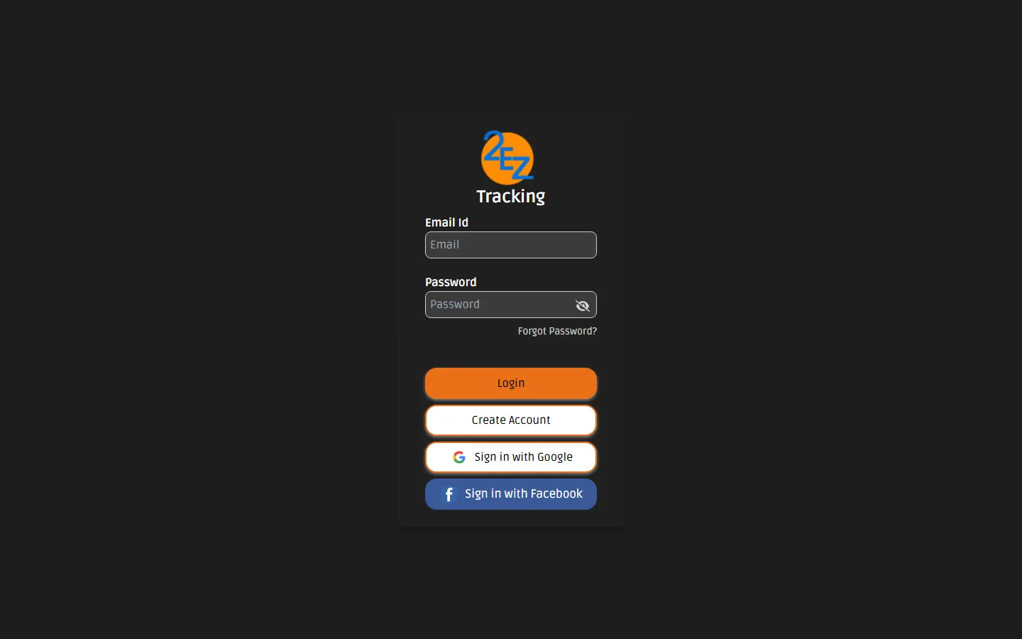
How Radiaix Built 2EZ Tracking's Real-Time GPS Telemetry & Mobile Dispatch Ecosystem
Fleet operators suffered from delayed vehicle location updates, missed geofence alerts, and fragmented communication between dispatchers and drivers.
Radiaix architected an end-to-end GPS tracking platform with live map telemetry, automated route and speed alerts, and synchronized mobile driver workflows.
Key Engineering Takeaways
Related Radiaix Systems, Services & Technical References
Explore how Radiaix engineers iOS, Android, and cross-platform field applications.
See Radiaix's flagship GPS fleet tracking and live telemetry system in action.
Inspect Radiaix's mobile-first on-demand booking and geographic routing ecosystem.
Read how Radiaix models state machines and exception queues for operational software.
Core browser and runtime protocol for bidirectional real-time telemetry streaming.
Frequently Asked Questions
Does Radiaix build native iOS and Android apps as well as web dispatch dashboards?
Yes. Radiaix engineers both the mobile applications used by drivers and field technicians (iOS and Android) and the centralized web command dashboards used by dispatchers and executives.
How does Radiaix ensure mobile apps work in areas with poor cellular reception?
We implement local-first storage queues with optimistic UI updates and idempotent background synchronization so field workers can complete tasks offline without data loss.